Chania Vryses
• General info • Hotels • Tours & Activities • Map • Members Photos (2) • Greeka Photos (4) • Write a review!
Hotels in Vryses
Villa Petra 2 Amanda
$$-$$$Villa Petra 2 Amanda offers accommodation in an authentic setting in the area of Maza village. Ideal for a relaxing stay with peace and privacy, the villa has been constructed according to the traditional architecture of Crete, with natural materials and in soft earthy colors that create a relaxing ...
Top Activities & Tours in Vryses
-
The 7 villages of Apokoronas tour with lunch
Book nowfrom € 115.00Category: Day Trips, Gastronomy, Walking6 hours MapExplore the gorgeous villages of Apokoronas, witness some stunning countryside routes, and savor a delicious Cretan meal.
Vryses Map
Photos by Greeka Members
Photos by Greeka Team
More about Vryses
The Kamara is to the southeast of the settlement and can be reached by following the river up to where it meets the National Road, next to a church dedicated to Saint George.
To the southwest of the village is another stone bridge, also known as the Lame Man’s Bridge (Kamara you Koutsou), as it was built next to a watermill whose owner had movement difficulties. This bridge was built in the 1890s and is still in use today.
Overall, the area is spanned by a number of smaller rivers and streams, most of which dry up during the summer months. However, natural springs near the village, which are also its namesake, give the lower parts of the river flowing water throughout the year.
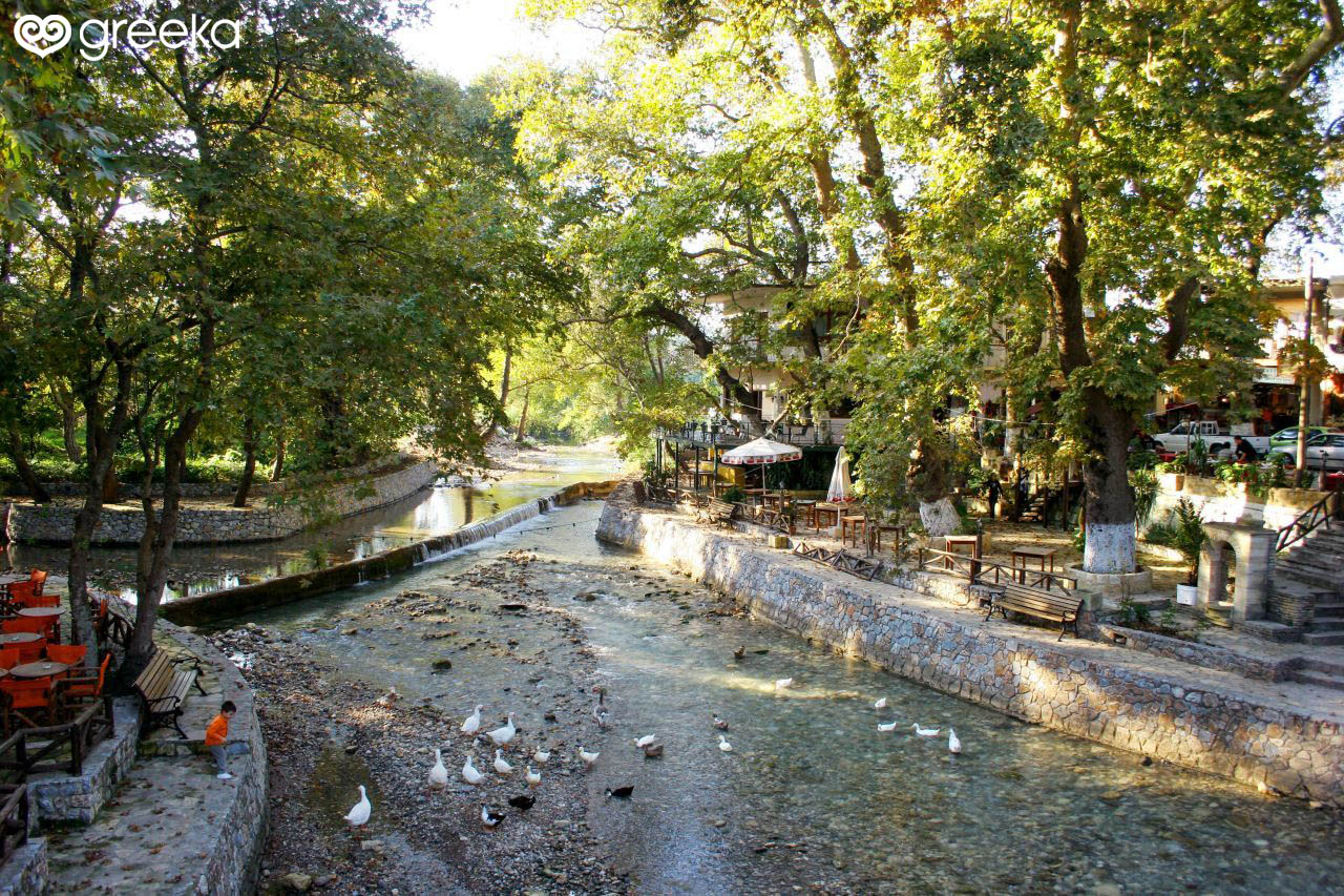
The center of the village, where the two rivers meet, is home to a large park full of plane trees offering an abundance of shade, and when the waters flow they are often graced by ducks, creating a soothing environment to enjoy a snack or a coffee at one of the park’s verandas. Next to the park is the village’s main modern bridge, built in 1942, with smaller, wooden bridges also nearby allowing for a walk through the park.


