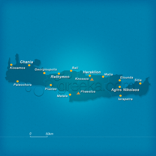
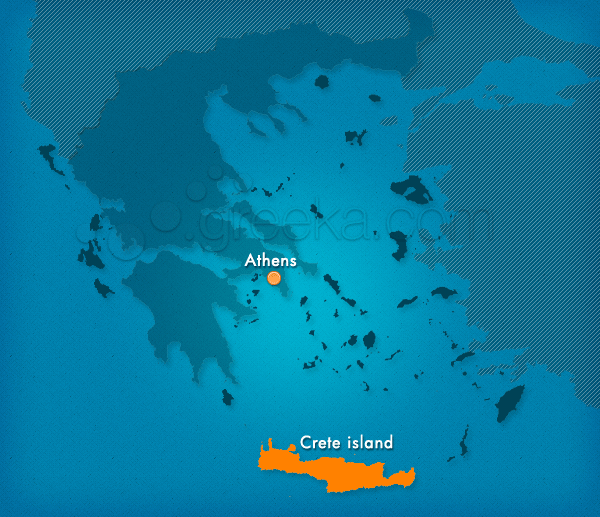
Discover our Map of Crete island, in Greece but also maps of many areas of the island: Crete is the largest and one of the most famous islands in Greece. A unique pole of attraction for thousands of visitors every year, Crete island is known from antiquity as the center of the Minoan civilization and many other civilizations that flourished in its ancient grounds. Its astonishing beauty which combines the idyllic mountain landscapes and exotic beaches, the important archaeological sites, traditional villages, major tourist resorts and above all the Cretan hospitality make Crete an ideal destination not only for the summer holidays but for the years to come.
The four prefectures that you can see on the map of Crete are Rethymno, Chania, Lassithi and Heraklion, all characterized for their unique natural beauty, major historical interest and folklore tradition. Venetian traces and well-preserved buildings are found in all the four islands of Crete which share a similar remarkable history. The endless coasts and gorges provide excellent activities for the more daring types as well as locations for total relaxation.
We use cookies to offer you a better browsing experience and to analyze site traffic. By browsing this site you agree to our use of cookies. Learn more about our cookies policy


